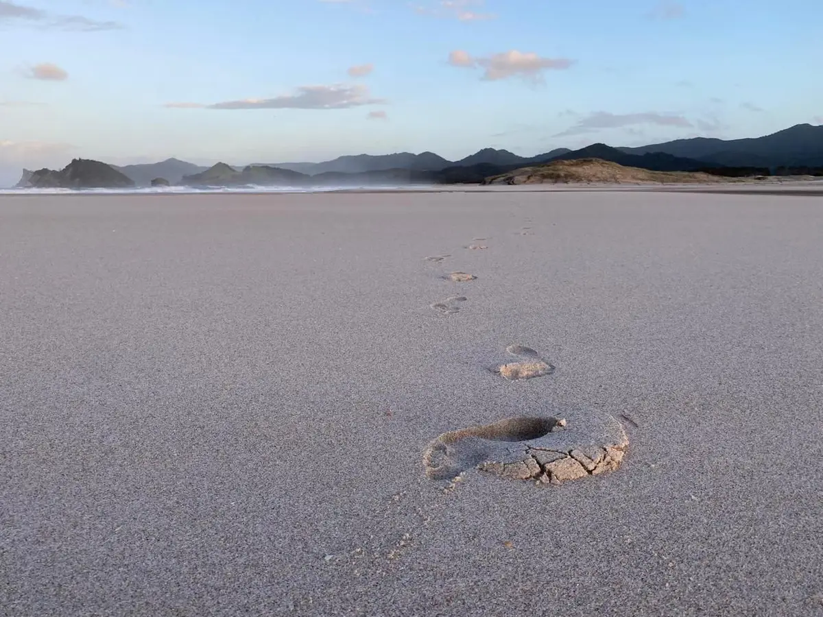
Most people come to Great Barrier Island for the beaches. They leave with a slightly longer list of reasons to come back — and walking is usually on it.
Aotea’s landscape is genuinely varied: volcanic ridgelines, ancient kauri forest, coastal cliffs, coastal wetlands, summit views that take in the full Hauraki Gulf. DOC manages a huge chunk of the island, and the track network spans everything from a 20-minute stroll above Medlands Beach to a three-day crossing of the interior. The terrain is real — this isn’t flat estuary walking — but most tracks are well-maintained and reward the effort without requiring technical skill.
175° East sits on the east coast near Medlands Beach, which puts guests within easy reach of several of the island’s best walks. This guide covers all of them, graded and timed, with what each one is actually like to do. For the full picture of what’s on Aotea, see our complete things to do guide.
Contents
- Short Walks (under 2 hours)
- Half-Day Walks (2–4 hours)
- Full-Day Walks
- Multi-Day: The Aotea Track
- Walking Near Medlands Beach
- Practical Information
- A Note on the Landscape
Short Walks (under 2 hours)
Station Rock Lookout
Grade: Easy | Time: 40 minutes return | Trailhead: Top of Medland Road
The closest significant viewpoint to the 175° East properties, and the one that most guests walk straight past without knowing it exists. The trailhead is at the top of Medland Road — twenty minutes up, twenty back, and the view opens over Oruawharo Bay in a way that the beach itself doesn’t give you. You’re looking down the full length of Medlands, out over the Gulf, with the ranges behind you. No facilities at the trailhead, no crowds, no significant effort required. Do it in the evening when the light is coming from the west and the beach is below you.
Drive from Medlands: 5 minutes by car, or 15–20 minutes on foot.
Windy Canyon / Te Wharekawa
Grade: Easy to Intermediate | Time: Allow 1–1.5 hours for the full experience | Distance: ~2km return to the canyon | Trailhead: Aotea Road, top of Whangapoua Hill
The short canyon walk is steep for the first few minutes, and then you’re in it — sheer volcanic rock faces on either side, the sky compressed overhead, the island’s geological skeleton made visible. The canyon has a concentrated quality that photographs never quite capture. It’s loud with wind and kākā call and oddly quiet of anything else.
From the upper edge, the view runs in two directions at once: north over the flat Okiwi Basin and Whangapoua estuary, east down to Kaitoke and Medlands from height. Just above the canyon, a 1920s wooden H-frame still stands in the bush — the winch the Kauri Timber Company used to haul logs up and over the saddle. A century of weather and it’s still there.
Bring a jacket. The name is not ironic.
The canyon is the start point for the full-day Hirakimata route (see below) — but the canyon itself is accessible to almost anyone in an afternoon and is worth it on its own terms.
Drive from Medlands: 15 minutes north on Aotea Road. No toilet at trailhead.
Kowhai Track
Grade: Easy to Intermediate | Time: 1.5 hours one way, mostly downhill | Route: Rosalie Bay Road to Medlands Beach
This one is underrated and directly relevant for guests based at Medlands. The track runs from the top of Rosalie Bay Road in the south and descends through bush, arriving at Medlands Beach. It’s mostly downhill in this direction — arrange transport to the Rosalie Bay end and walk back to your accommodation. You finish at the beach, which is the right place to finish a walk on a warm afternoon.
The reverse (Medlands to Rosalie Bay) is a genuine climb, so if you’re not arranging a shuttle, pick your direction accordingly.
Drive from Medlands: Rosalie Bay trailhead is about 20 minutes south. No facilities.
Te Ahumata / White Cliffs
Grade: Easy to Intermediate | Time: 2 hours return including summit | Trailhead: Blind Bay Road or Whangaparapara Road
The White Cliffs are a distinctive landmark visible from Medlands Beach — the pale face above the middle of the island. The track runs between Blind Bay Road and Whangaparapara Road (either end works) with a side track to the 398m summit. Thirty minutes from either end gets you to the junction; another thirty to the top.
The summit gives you 360-degree views: Claris and the airport below, both coastlines, the Whangaparapara Harbour to the west, and the island’s spine running north. It’s a good aerobic walk — enough of a climb to feel it, clear payoff at the top, and back in time for lunch.
Drive from Medlands/Claris: 10 minutes to the trailhead. Parking at the road ends.
Kaitoke Hot Springs Track
Grade: Easy (DOC) | Time: 45 minutes each way | Distance: ~3km return | Trailhead: Whangaparapara Road
The track starts flat across the Kaitoke Wetlands — one of the island’s more unusual ecosystems. Boardwalks cross the waterlogged sections. Kānuka closes in overhead. Native orchids and sundews grow close to the track edge if you’re looking. Fernbirds call from the margins. After about 30–40 minutes the forest thickens and the sulphurous smell arrives before the pools do.
The pools are dammed at a fork in Kaitoke Creek, ringed with umbrella fern. There’s a picnic table, seats, and a toilet at the main pool — which means this is comfortable, not just scenic. The temperature varies; the hot spring meets the cold creek and you find your own mix. Five minutes further upstream: hotter, more enclosed, fewer people.
DOC-managed, free. This walk is particularly good in winter — the contrast between cold air and warm water is the actual experience, not just a nice addition to it. See our complete Kaitoke Hot Springs guide for more detail.
Warning: Pool water can be very hot in places. DOC advises: do not submerge your head.
Drive from Medlands: 15 minutes. Roadside parking on Whangaparapara Road.
Hirakimata / Mount Hobson (via Windy Canyon and Palmers Track)
Grade: Intermediate | Time: 4–5 hours return | Distance: ~10–14km return | Trailhead: Aotea Road (Windy Canyon)
The island’s highest point at 621 metres and the best all-day walk on Aotea. The route via Windy Canyon and Palmers Track is the most accessible entry — well-bridged, clearly marked, takes you through the canyon on the way up. The summit gives you the full Gulf on a clear day: Coromandel, Northland, Hauturu (Little Barrier Island), the Poor Knights on a good day, and the full island spread below.
At the top, wooden steps protect black petrel nesting burrows. These birds fly to South America and back and return to this specific ridgeline to breed, October through May. The island’s endemic Great Barrier tree daisy grows near the summit. North Island robin (pītoitoi) have been sighted here following recent reintroductions. It’s ecologically significant up there — not just a viewpoint.
Cloud moves fast on the summit. Start early, check the weather before committing to the full day, and turn back if cloud closes in on the upper ridges.
Drive from Medlands: 15 minutes to the Windy Canyon trailhead. No facilities at trailhead. Mt Heale Hut is on the route — 20 bunks, $25/night, bookable via DOC.
Harataonga Coastal Track
Grade: Intermediate | Time: ~5 hours one way | Trailhead: Whangapoua (north) or Harataonga (south)
One of the longer bush walks on the island — mature pōhutukawa, coastal views, historic Māori sites, and real distance. It runs the full length of coastline from Whangapoua to Harataonga. The catch: you finish somewhere different from where you started, so you need either a car shuttle or transport. Go Great Barrier Island transport (09 429 0222) runs track pick-ups and drop-offs.
Allow a full day. Not a quick out-and-back.
Harataonga Loop Walk
Grade: Easy to Intermediate | Time: ~1 hour return | Trailhead: Harataonga campground area
A completely different walk from the Coastal Track despite sharing a starting point. The loop gives you views into the bays, an old Māori pā site, and a steep descent on the last section. Accessible for most people in a morning, and easily combined with time at Harataonga Beach.
Full-Day Walks
Tramline Track
Grade: Advanced (DOC: “fit trampers only”) | Time: Multi-hour traverse | Trailhead: Aotea Road (northeast end) or Whangaparapara Road (west end)
The Kauri Timber Company’s tramline from the 1920s–30s, now a walking track through living forest. Sometimes very steep — a remarkable feat of bush engineering in its day. Crosses Awana Stream and a waterfall, climbs to a plateau, drops to Kaitoke Stream. The track receives minimal DOC upkeep and is not suitable for beginners or anyone unfamiliar with off-track conditions. The Pack Track connecting to this route is permanently closed.
If you want the flavour of it without the full commitment: the shorter approach from the Whangaparapara end reaches Forest Road in about an hour.
Ruahine Lookout Track
Grade: Intermediate | Time: 3 hours return | Summit: 402m | Trailhead: End of Cape Barrier Road
At the southern end of the island, this 402m peak gives you views over the Cape Barrier peninsula and the southern waters. Less-visited than the northern walks — if you’re based in the south or want to go somewhere quieter, it’s a good option.
Drive from Medlands: ~25 minutes south toward Tryphena, then Cape Barrier Road.
Multi-Day: The Aotea Track
Grade: Intermediate (DOC) | Duration: 2–3 days | Huts: Mt Heale (20 bunks) and Kaiaraara (28 bunks)
The island’s flagship multi-day route crosses the interior — native forest, ridgelines, both coasts from elevation, and 80 years of logging history written into the landscape. This is proper tramping, not an extended day walk. Good boots, full weather kit, food for the duration, and hut bookings are all non-negotiable.
The route:
Most people start at the Windy Canyon end (Aotea Road) and exit via Whangaparapara. The main stages:
- Windy Canyon → Mt Heale Hut: 3–3.5 hours. Well-bridged, takes you through the canyon and up through the forest to the hut. The hut deck looks west over the Hauraki Gulf toward Hauturu/Little Barrier Island — one of the better places to have a cup of tea in the region.
- Mt Heale Hut → Kaiaraara Hut: 4 hours. Through the island’s interior, with views from the ridgeline and the descent into Kaiaraara valley.
- Kaiaraara Hut → Whangaparapara Road (via Forest Road and Tramline Track): 5 hours. The final day passes through the historic Kaiaraara valley. Below the hut, the foundation timbers of an 1920s kauri dam are still visible in the streambed — the dam once propelled an estimated 7 million board feet of timber into Kaiaraara Bay before a 2014 storm washed it away. A short detour passes Kauri Falls, a good swimming spot.
Huts:
- Mt Heale Hut — 20 bunks, $25/night adults. Deck views across the Hauraki Gulf.
- Kaiaraara Hut — 28 bunks, $25/night. Wood stove, gas cooking, surrounded by the remains of a logging operation that shaped this island’s history.
Bookings: Book at bookings.doc.govt.nz. The 2026/27 season opens 12 May 2026 at noon. Huts sell out — book the moment they go live.
Stream crossings on the South Fork Track can become dangerous after heavy rain. If the island has had a wet few days, check conditions before setting out.
Walking Near Medlands Beach
For guests at 175° East or anyone based on the east coast, here’s the practical breakdown:
Within 20 minutes on foot:
- Station Rock Lookout — the ridge above Medlands, 20 min each way from the top of Medland Road.
15 minutes by car:
- Windy Canyon — the best short walk on the island, and the gateway to the Hirakimata full-day route.
- Kaitoke Hot Springs — easy walk, geothermal pools, free entry.
20 minutes by car:
- Kowhai Track — start at Rosalie Bay end, walk down to Medlands Beach. Good one-way option.
10 minutes by car:
- Te Ahumata / White Cliffs — quick drive to Claris end, 2-hour return to the 398m summit.
A solid day combining walks: drive to Windy Canyon in the morning, spend an hour in the canyon, continue to the Hirakimata summit if weather and fitness allow, return to Claris, and stop at the Kaitoke Hot Springs on the way back. That’s a full day, well-spent.
If you want something lighter: Station Rock in the evening, Kaitoke Hot Springs the following morning. Two walks, two very different landscapes, both back at Medlands by lunch. Aotea Brewing is a five-minute walk from 175° East — a natural end to either day. See the full area guide for what else is nearby.
Practical Information
Footwear: Proper walking shoes or light tramping boots for most tracks. Trail runners are fine for Kaitoke Hot Springs and Station Rock. For Hirakimata, Tramline Track, or the Aotea Track, boots with ankle support are the right call.
Kauri dieback: Boot wash stations are at trailheads where kauri are present — use them, every time, in both directions. Kauri dieback is carried in soil on footwear and it kills trees. It’s not optional. Clean boots are how the forest stays intact.
Offline maps: 4G does not exist on Great Barrier Island. Download offline maps before you leave the mainland — either via the DOC app, Maps.me, or a dedicated tramping app like Topo50. Don’t assume you’ll have signal at the trailhead.
Track conditions: Check current conditions at doc.govt.nz before heading out. Tracks on GBI occasionally close after storm damage or during kauri dieback treatment.
Hut booking: Aotea Track huts book at bookings.doc.govt.nz. 2026/27 season opens 12 May 2026.
What to carry: Water (most trailheads have no water source), food, a layer, sun protection, and a charged phone with offline maps loaded. On longer walks: a first aid kit and a plan for what happens if the weather closes in.
Transport: For the Harataonga Coastal Track (one-way), Go Great Barrier Island transport runs track pick-ups: 09 429 0222.
A Note on the Landscape
The forest in the central and upper sections of the island survived because it was too steep to log efficiently. The Kauri Timber Company extracted what it could — the valley floors, the gentler ridges, the accessible coastal strips. The steep interior got left. That’s the forest you’re walking through.
This wasn’t conservation policy. It was economics. But the result is that the central ridge of Aotea holds some of the most intact native bush remaining in the Hauraki Gulf — old-growth kauri, tōtara, rimu, kāmahi — and all the birds and lizards and invertebrates that live in it. The chevron skink, found almost nowhere else in New Zealand, is here. The main New Zealand nesting colony of the black petrel, a seabird that travels to the coast of South America and back, is on the Hirakimata ridgeline.
When you’re walking through it, it doesn’t announce itself. It just sounds like birds and smells like earth and damp bark. But it’s one of the better pieces of wild landscape left in this part of the country.
Planning your trip? Read our guide to getting to Great Barrier Island — flights, ferry, car hire, and what to expect on arrival. Great Barrier walks are also particularly good in winter — cooler temperatures, Kaitoke Hot Springs at their best, and the island at its quietest.
175° East has three off-grid houses at Medlands Beach — the best base for the east coast walks. Check availability and book direct.